GIS & mapping
Drone mapping, GIS data and physical planning support for estates, projects and land records.
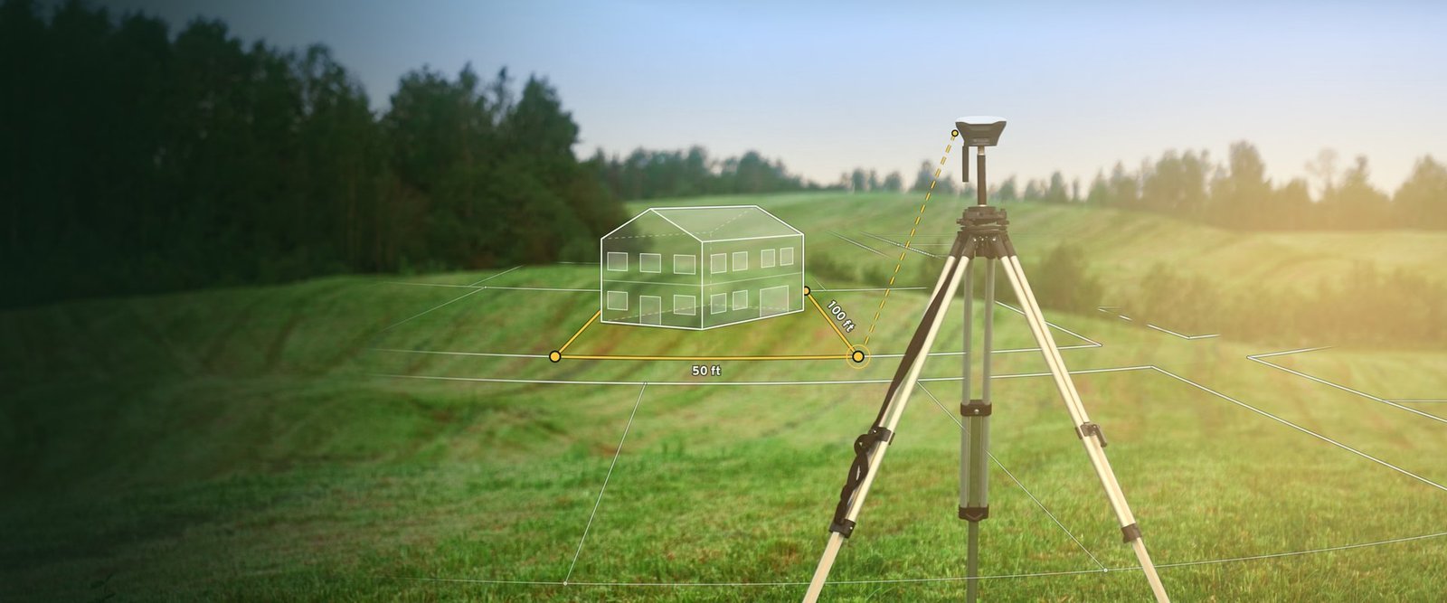
We turn survey data into maps you can use: drone imagery of a site, parcel layers for an estate or a whole project area, and the spatial analysis behind planning and investment decisions.
- Drone aerial surveys and orthophoto maps
- Parcel mapping and digitised land records
- Physical planning and subdivision layouts
- Site suitability and land use analysis
- Maps and data delivered in standard GIS formats